

Project Description
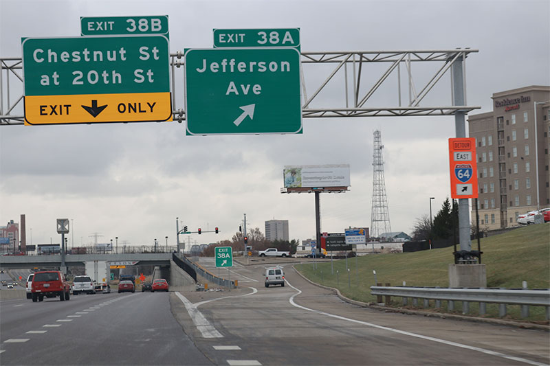
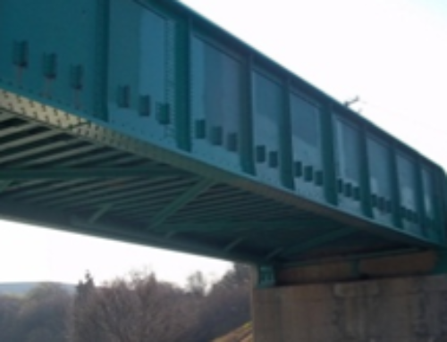
The project provides for the preparation of Preliminary Plans for reconstruction of the I-64/Jefferson Avenue Interchange and the associated City streets. ABNA provided aerial LiDAR mapping of the I-64 corridor and adjacent roadway system from Compton Road to the South 18th Street, which included Control, survey notes, aerial survey calibration report, 3D digital mapping files, and digital orthophotography file. ABNA also prepared preliminary roadway plans detailing project limits, roadway typical, geometrics, removals, drainage, and ADA improvements for the 22nd Street extension, pavement and soil borings, Geotechnical investigation, and finally TS&L plans for MSE walls, I-64 EB on-ramp, I-64 WB off-ramp, and 22nd Street Bridge.
