
ABNA supports large and small projects alike by performing several survey activities such as route surveys, topographic surveys, cross-sections and profiles and establishing existing and proposed centerline alignments, record research, boundary surveys and adjustments, 3D LiDAR scanning and remote sensing, establishing 1st and 2nd order controls, right-of-way monuments, construction, structural, and settlement monitoring, land use determination, complex construction staking, layout and as-builts. ABNA’s Survey Department consists of survey crews and office support staff, including multiple project managers, FAA 107 licensed UAV pilots, and Professional Licensed Surveyors licensed in five states.
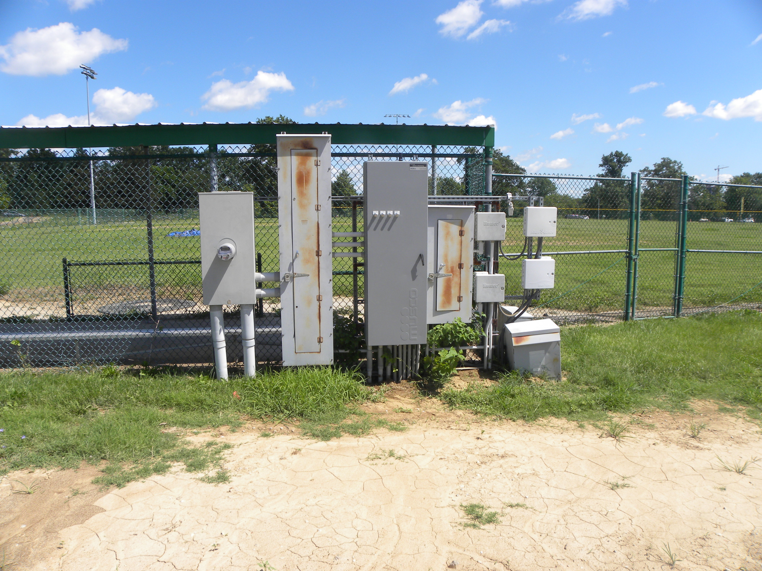
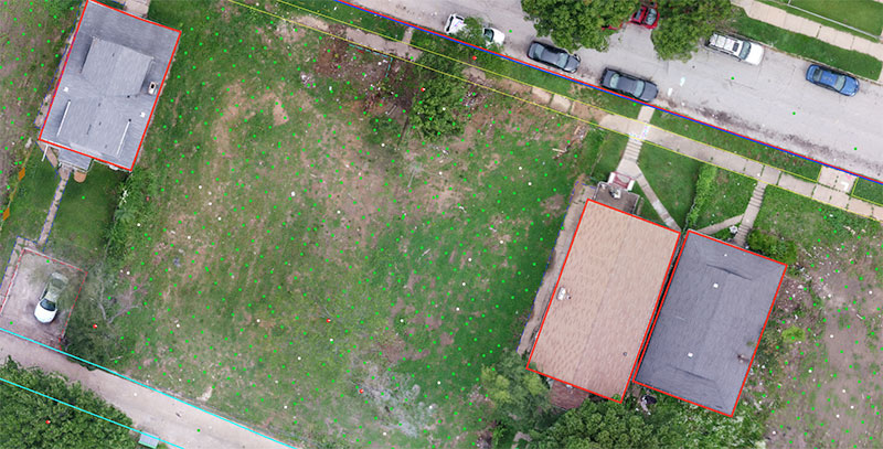
ABNA employs a wide array of survey equipment, which enables the safe, timely, and accurate completion of projects. These instruments include Trimble GPS units, Trimble Robotic Total Station Units, a variety of LiDAR and photogrammetric scanners, digital levels, and various other conventional survey equipment. In addition to conventional methods, ABNA employs a variety of 3D scanning techniques, including static, mobile, and aerial LiDAR, employing both drones and fixed-wing vehicles, as well as sonar deployed to boats for bathymetric information. ABNA’s survey staff have extensive experience in using state-of-the-art software such as Microstation, Autocad, Geopak, TopoDOT, Trimble Business Center, and Trimble Realworks.