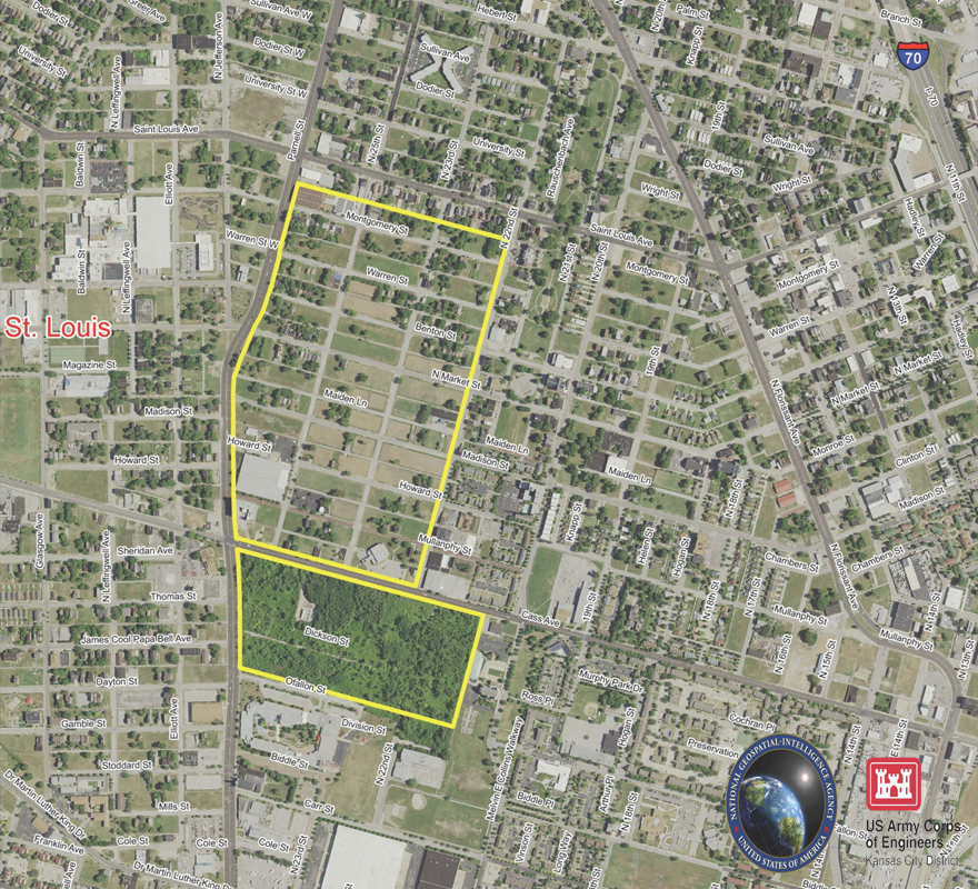
ABNA employs Geographic Information Systems (GIS) technology to establish infrastructure needs/costs/capacity analysis, environmental analysis, development regulations and collection of public input. Using GIS software, datasets can be designed and built in conjunction with comprehensive site analysis. This technology allows for the use of diverse spatial analysis, which allows the user to answer both simple and complex questions, predict results and test alternative—this would not always be practical or affordable using conventional methods. ABNA has expertise in all major mapping, GIS and database software including MicroStation MGE/MGA, Arc/Info, Oracle and AutoCAD. ABNA has built one of the largest surveying and GIS databases in Missouri. These resources allow ABNA to respond quickly to project tasks, efficiently mobilize qualified personnel and produce quality mapping products.